

Apple Finds iPhones Offline, Ubimage Maps Your Memories

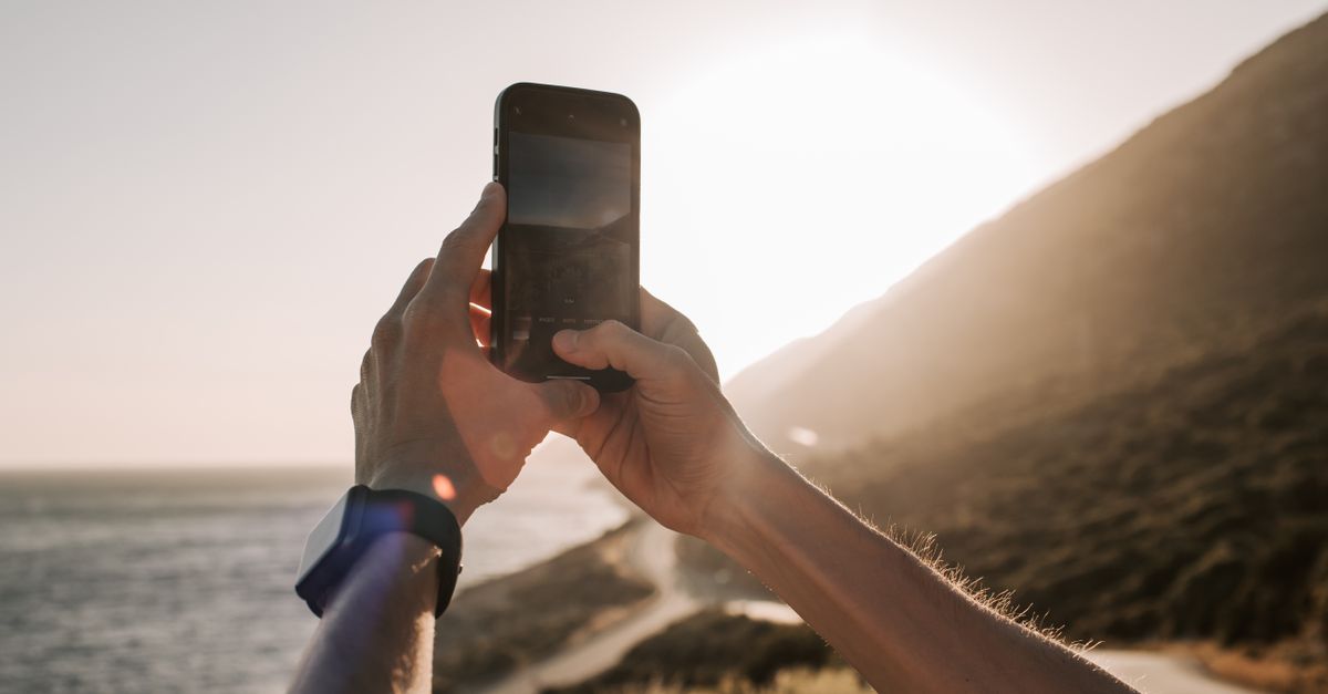
Photo by Vlada Karpovich on Pexels
Apple’s Find My network can locate an iPhone even after the device is powered off, provided the owner initiates the locate request promptly.
The feature works as long as the user does not delay; a turned‑off or dead‑battery iPhone will still broadcast its encrypted Bluetooth beacon for up to a few hours, and the same principle powers third‑party tools like Ubimage, which runs on iPhone 12 and later and reads the built‑in barometric altimeter to place photos at the correct elevation.
Immediate capability and limits
Find My treats an offline iPhone as a passive transmitter. When the screen is black and the battery is drained, the device still emits a low‑energy Bluetooth signal that nearby Apple devices can pick up. Those devices relay the encrypted identifier to Apple’s cloud, which then surfaces the last known location to the owner’s iCloud dashboard. The system does not resurrect the phone; it merely reports where it was when it last broadcast.
The catch is timing. Apple’s documentation warns that the beacon stops after a short window once power is lost. If the owner waits too long, the last broadcast disappears from the network and the phone becomes untrackable until it is turned on again. The limitation is technical, not policy‑driven, and it mirrors the behavior of any Bluetooth‑based asset tracker.
How Ubimage visualizes geotagged media
Ubimage flips the script on passive location. Instead of looking for a lost device, it projects a user’s own photo library onto the surrounding terrain. Point the phone at a ridge, and every geotagged image that was taken in that direction appears as a pin anchored to its true bearing and distance. The app collapses duplicate shots of the same spot into a single pin, then lets the user drill into the collection for altitude, elevation, and camera heading.
The visual cue is an orange cone that shows the exact azimuth the camera faced when the shot was captured. Tapping a pin opens a timeline of that location, complete with GPS‑derived altitude and a margin‑of‑error readout. If the device lacks a barometer, Ubimage falls back to GPS altitude, which can be off by tens of metres in mountainous terrain. On iPhone 12 and newer, the app prefers the barometric reading when its error estimate is lower, keeping pins flush with the real world.
Technical underpinnings: Bluetooth, barometer, and network
Both Apple’s offline locate and Ubimage’s horizon mapping rely on the iPhone’s sensor suite. Find My’s Bluetooth beacon is a 802.11‑compatible low‑energy packet that contains a rotating identifier; nearby Apple devices act as relays, preserving user privacy while extending the range of a dead phone. Ubimage, by contrast, consumes the same GPS and barometric data that the phone already logs for each photo.
The barometer, introduced with the iPhone 6, measures ambient pressure to infer altitude changes of a few metres. Ubimage reads this sensor and compares its error estimate to the GPS‑derived altitude, which typically drifts by 5–10 m in open sky but can swing by dozens of metres near cliffs. By selecting the smaller error, Ubimage ensures that a pin on a ridge does not magically sink below the horizon.
Ubimage also surfaces raw instrument data in a compass rose: latitude, longitude, GPS accuracy, heading accuracy, and the source of the altitude reading. When a sensor reports “n/a,” the app displays that verbatim instead of fabricating a value. This transparency mirrors Apple’s own stance on privacy and data integrity.
Market implications and next steps
The ability to locate a dead iPhone changes the calculus of device loss for power users. Enterprises that field iPhones for field work can now rely on a fallback locate path without buying separate asset trackers. The same logic fuels a niche of location‑aware applications that treat the phone as a map‑overlay canvas rather than a simple communication tool.
Ubimage’s approach demonstrates how developers can repurpose existing sensor streams for novel workflows. By anchoring personal media to real‑world coordinates, the app blurs the line between photo gallery and augmented‑reality navigation. The feature set—directional pinning, altitude correction, and batch filtering by camera bearing—offers a template for future tools in outdoor recreation, real‑estate, and logistics.
The broader ecosystem may see tighter integration between Apple’s Find My framework and third‑party mapping layers. If Apple exposes more of the beacon’s metadata, developers could build richer context (e.g., battery level at last broadcast) without compromising encryption. Conversely, privacy advocates may push back on any expansion that could infer user habits from offline beacons.
What to watch
Track Apple’s next iOS release for any changes to the offline Find My beacon window or to the permissions model for barometric data. Ubimage’s roadmap, hinted at in its current iPhone 12+ requirement, may soon add support for iPadOS and Android, expanding the cross‑platform horizon mapping market. The convergence of passive locate and active geotag visualization will become a litmus test for how Apple balances utility and privacy in its sensor ecosystem.
Related Articles
iPhone 18 Pro’s variable aperture sparks repair worries
iFixit’s teardown reveals a variable aperture and a display repair flaw; iOS 27 adds 30+ speed tweaks; Duo forces app recompilation; Pro Max’s battery size triggers new shipping rules.
Apple adds $5 monthly fee for iPhone Handoff on T‑Mobile
Apple bundles iPhone Handoff with iOS 27 but charges T‑Mobile users $5 a month, sparking debate over continuity costs and carrier lock‑in.
Apple hikes iPhone prices while rolling out foldable and AI
Apple raises older iPhone prices, adds iPhone Duo developer tools, launches Siri AI in English, and unveils Watch Series 12 health sensors.